Peer-to-Peer (P2P): 21 pairings to strengthen cooperation between river basins and organisations
The Peer-to-Peer project is entering its operational phase with the launch of 21 pairings bringing […]
post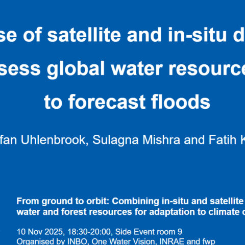
Use of satellite and in-situ data to assess global water resources and to forecast floods – WMO
documents
Combining in-situ and satellite monitoring of water and forest resources for adaptation to climate change – IRD
documents
From ground to orbit: Combining in-situ and satellite monitoring of water and forest resources for adaptation to climate change – ESA
documents
Remote Sensing, Agriculture and Drought Indicators, WMO
documents
From ground to orbit : Integrating radar and satellite-derived rainfall fields in French Guiana
documents
Water from Space: Towards a Revolution in Water Resources Management
documents
Space Agencies and Satellite Tools for Agricultural Monitoring: Capabilities and Innovations
documents